Log in
All resources
Create a design
Tools
7,171 Free Images of Atlas Map
maps with cartouches
atlas van der hagen
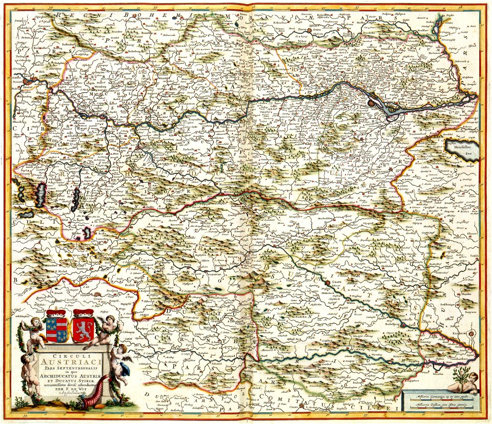
atlas de wit 1698
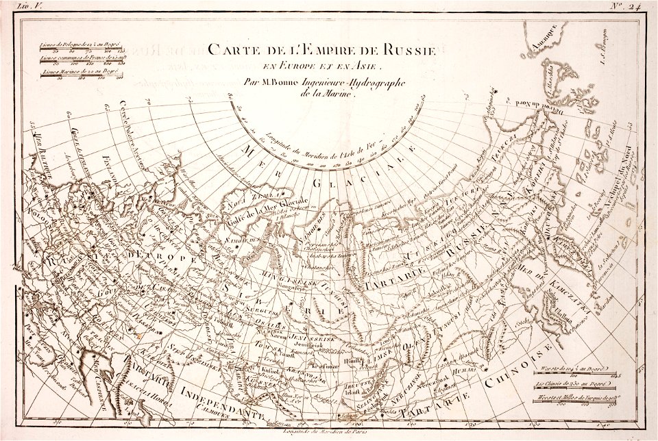
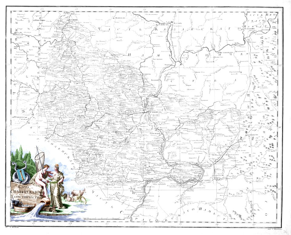
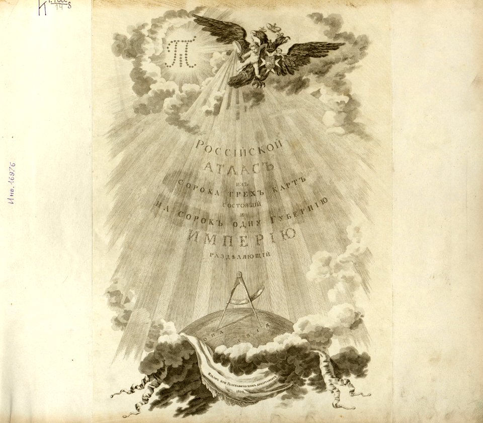
atlas of the russian empire (1800)
maps
atlas van der hagen (volume 1)
prints from bonne atlas de toutes les parties at the peace palace library
atlas van der hagen (volume 2)
atlas van der hagen (volume 3)
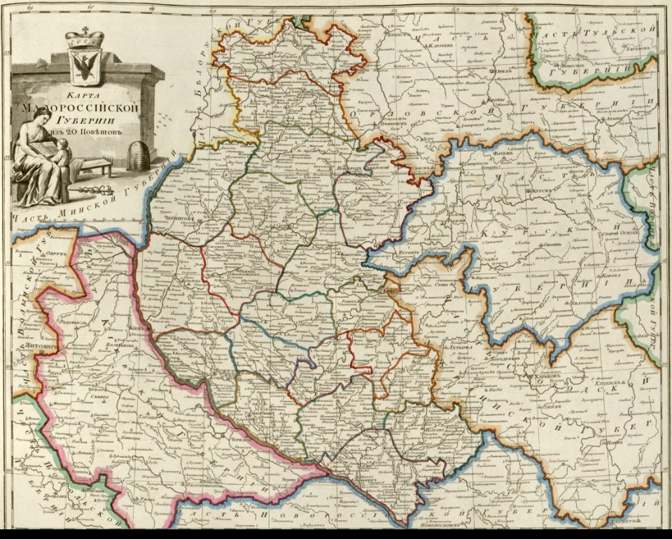
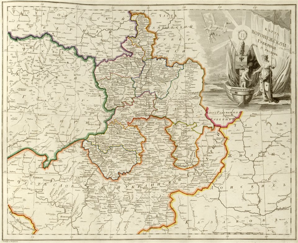
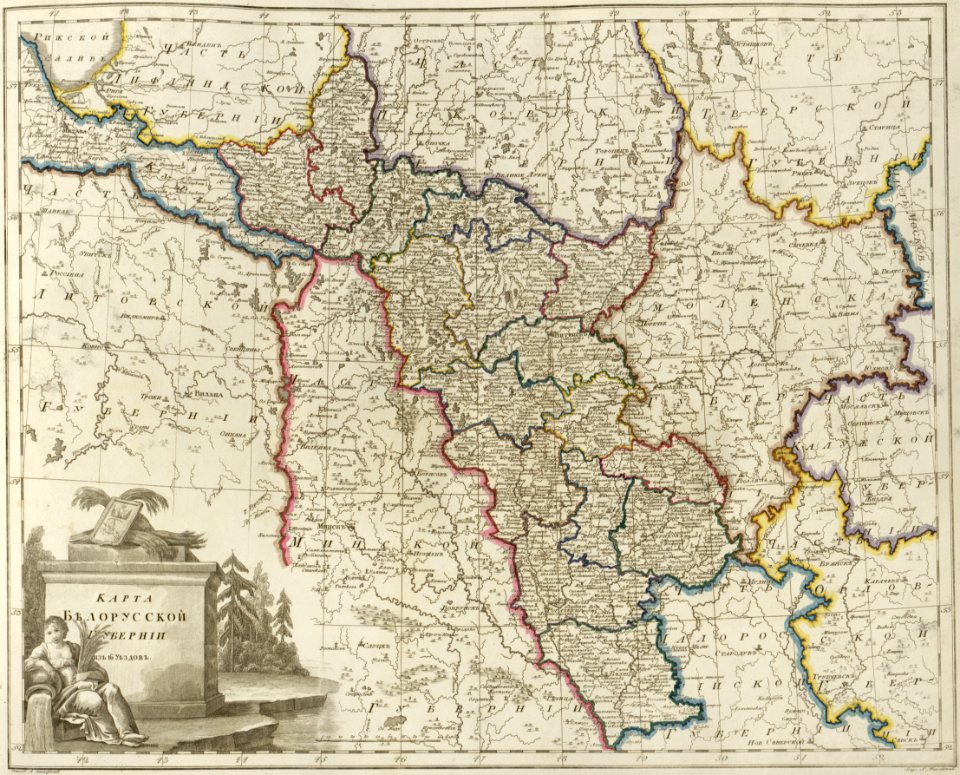
old maps of governorates of the russian empire
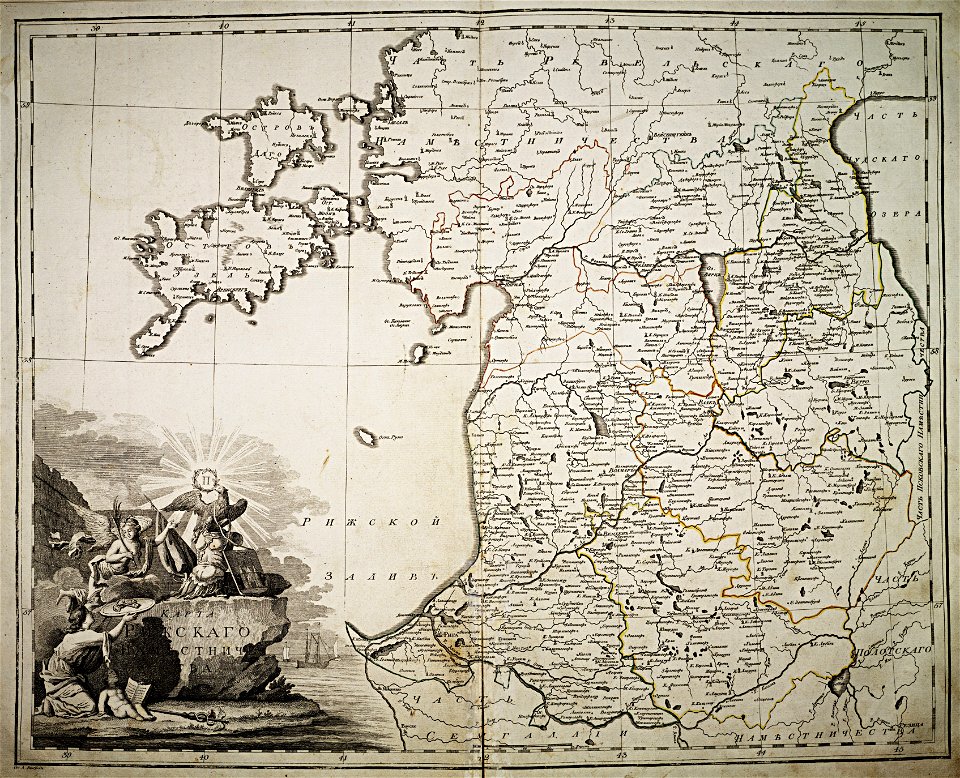
atlas of the russian empire (1800)
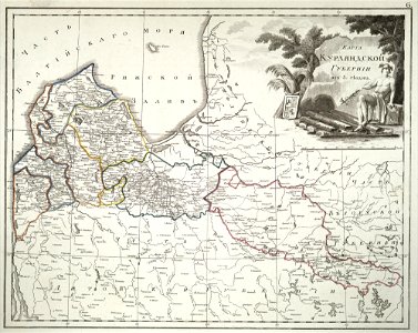
maps of saratov governorate
atlas of the russian empire (1800)
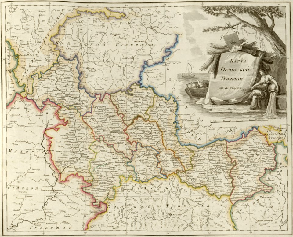
maps of oryol governorate
atlas of the russian empire (1800)
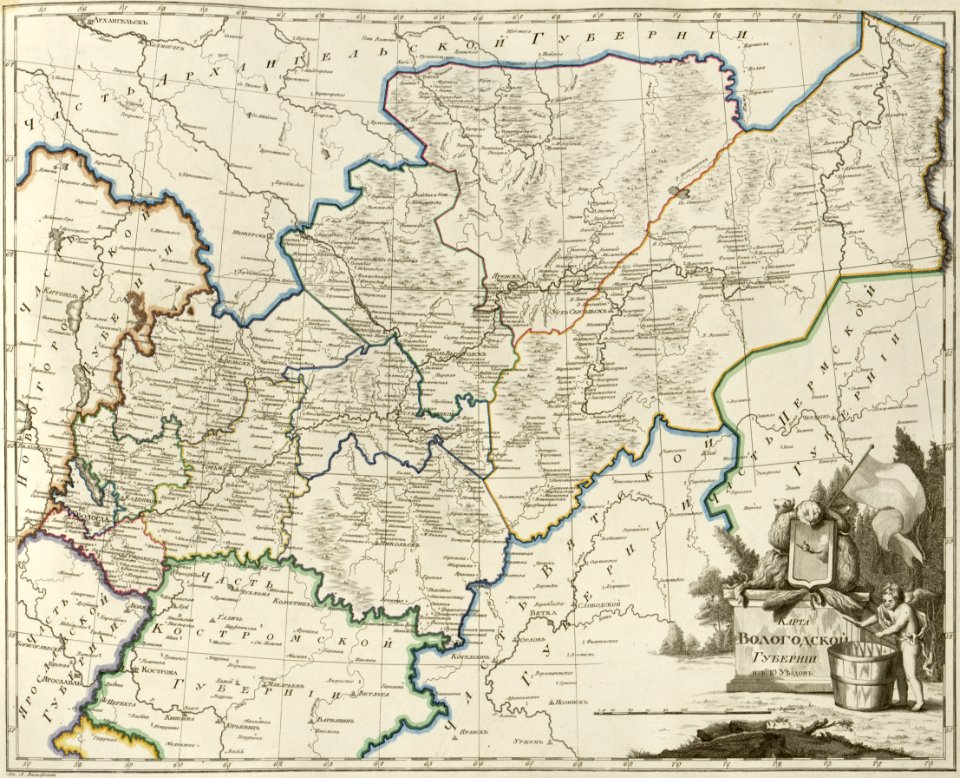
maps of vologda governorate
small atlas of the russian empire (1796)
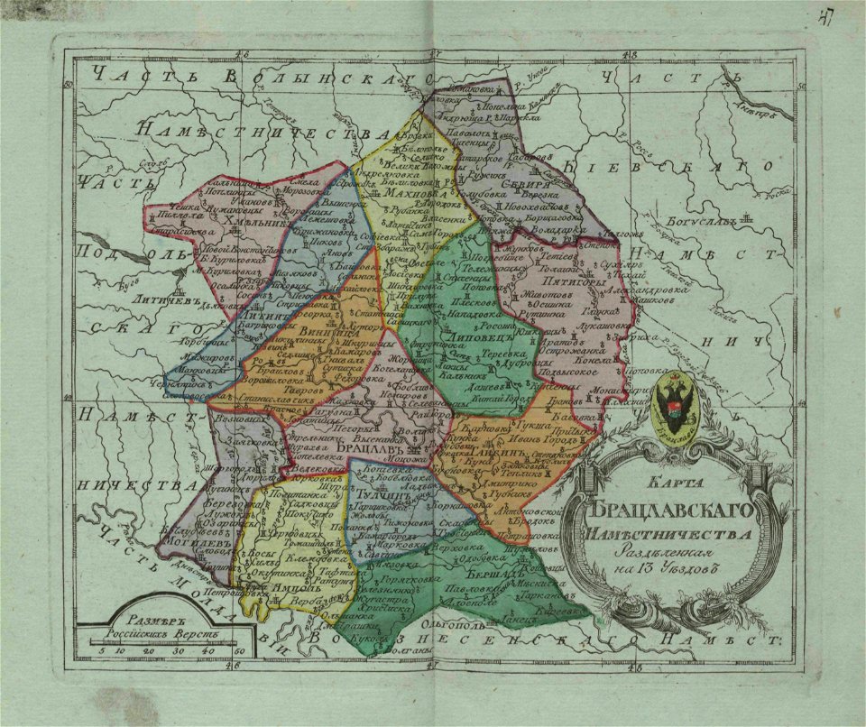
bratslav viceroyalty
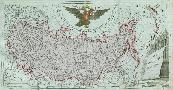
old maps of the russian empire
catherine the great
windmills in art
bridge of arts
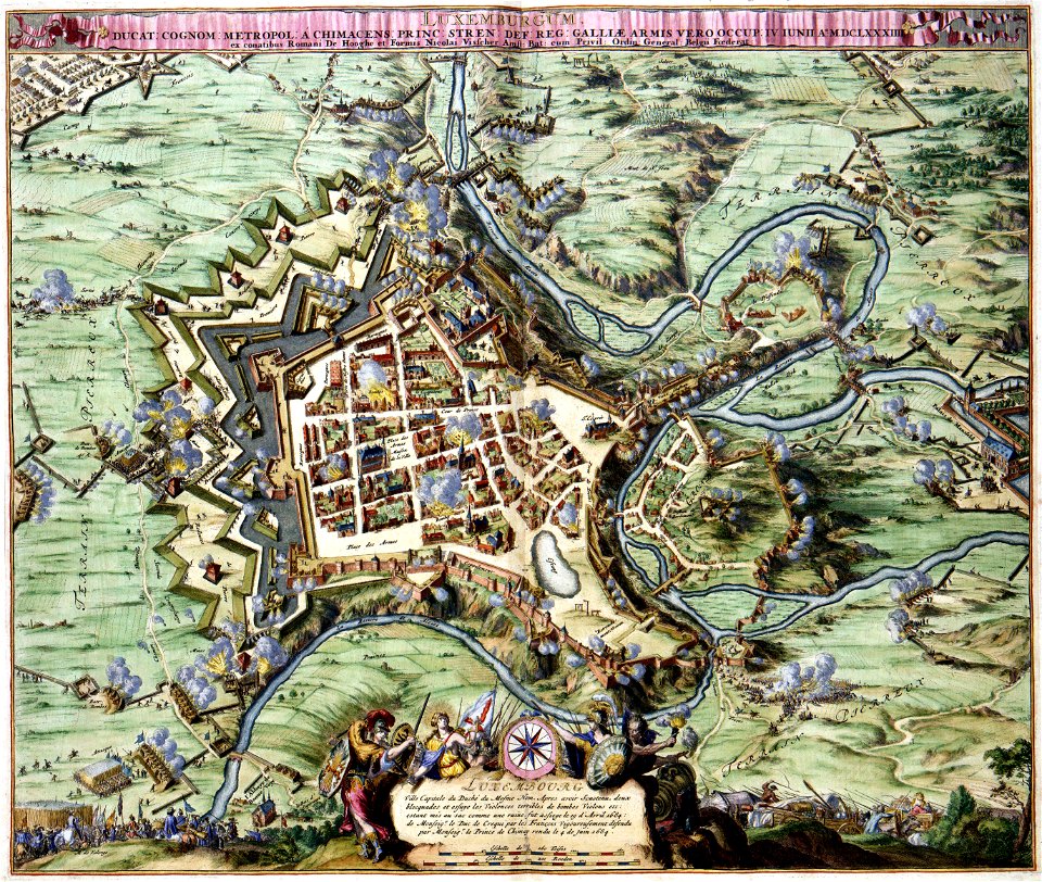
maps of luxembourg city walls
maps with cartouches
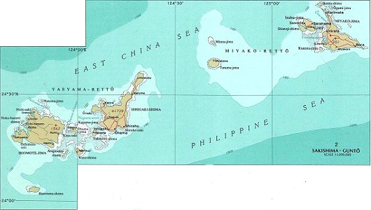
national atlas maps of occupied ryukyu islands
maps of sakishima islands
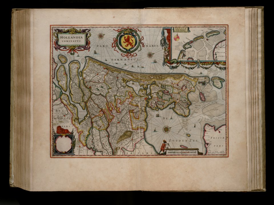
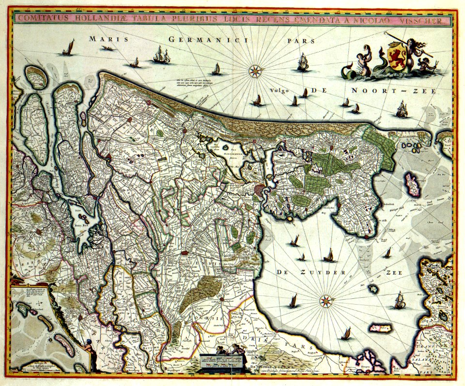
17th-century maps of the netherlands
maps with cartouches
river
roads
joan blaeu
old map
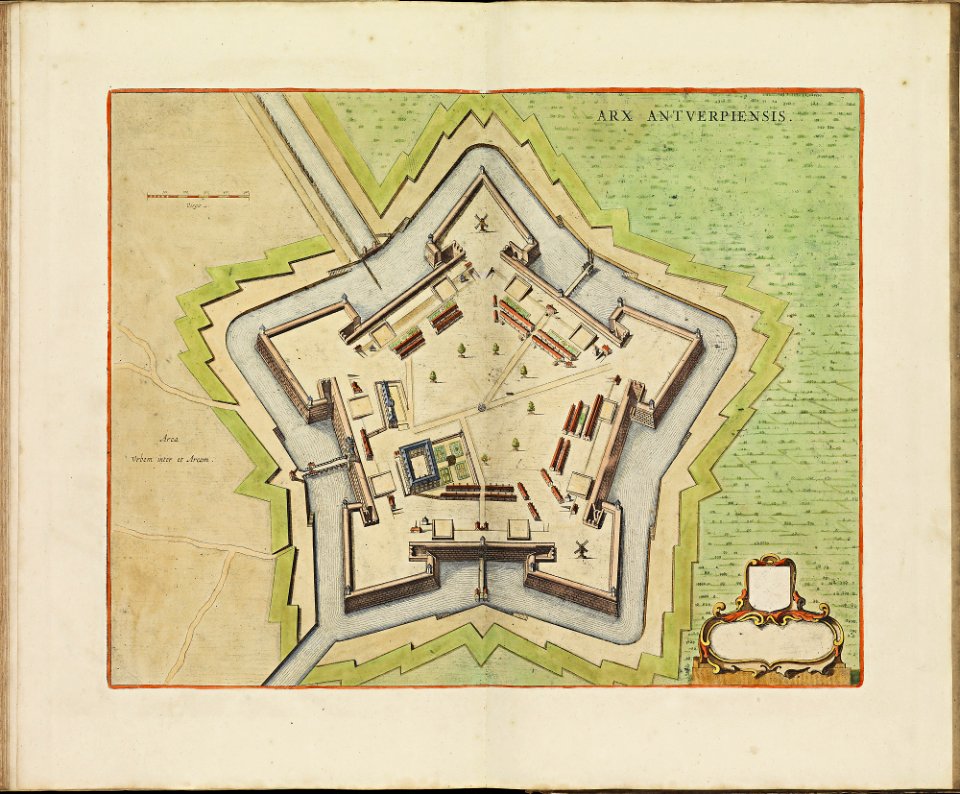
maps of antwerp city walls
frederick de wit
atlas de wit 1698
frederick de wit
maps with cartouches
atlas van der hagen
1780 maps of russia
bonne projection
old maps of pomerania
rudens
maps with cartouches
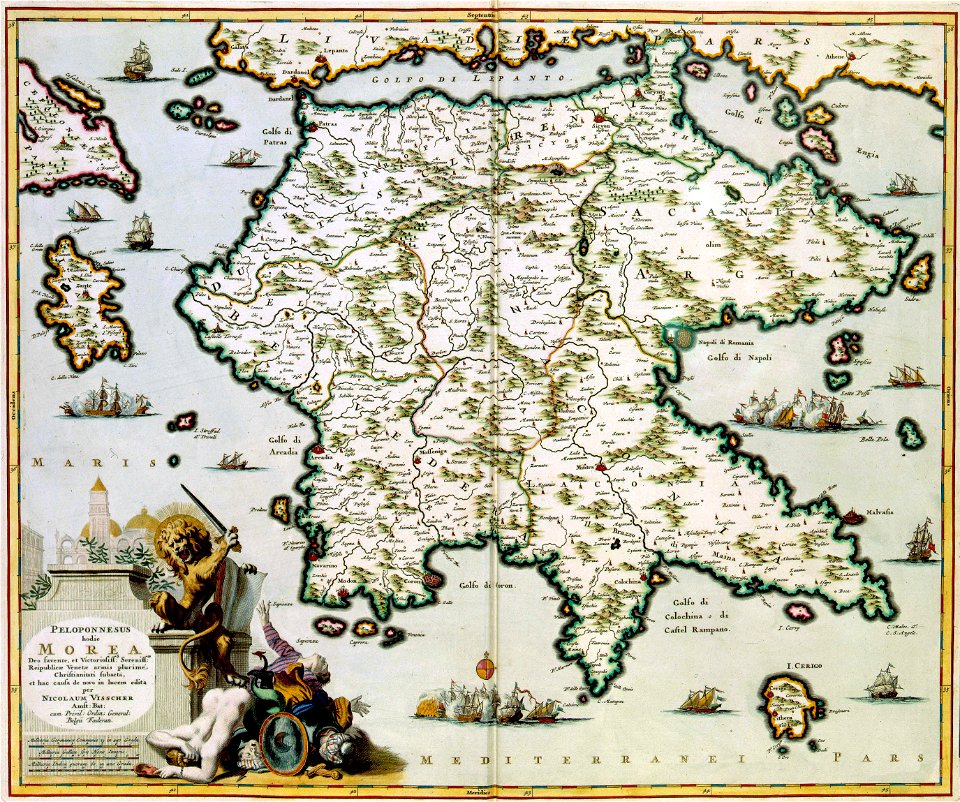
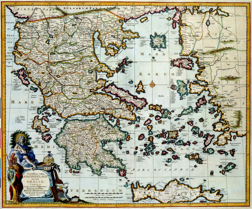
old maps of greece
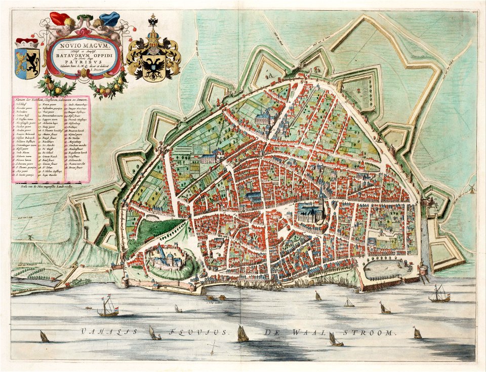
utrecht in the 17th century
maps
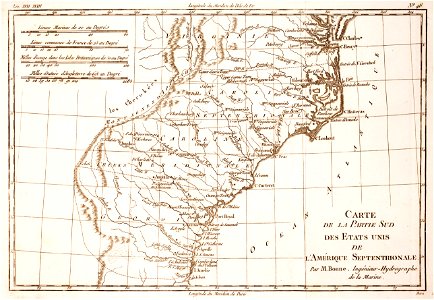
18th-century maps of north carolina
1780 maps
maps
usa
background
maps
maps with cartouches
atlas van der hagen
maps with cartouches
atlas van der hagen
illustration
maps
atlas of the russian empire (1800)
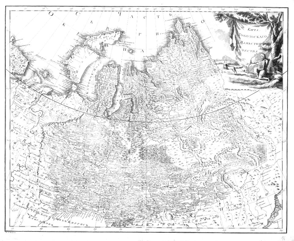
old maps of tobolsk governorate
maps with cartouches
atlas van der hagen
maps with cartouches
old maps of hesse
history of pernambuco
maps with cartouches
maps with cartouches
atlas van der hagen
17th-century maps of the netherlands
maps with cartouches
prints from bonne atlas de toutes les parties at the peace palace library
1780 maps of canada
maps
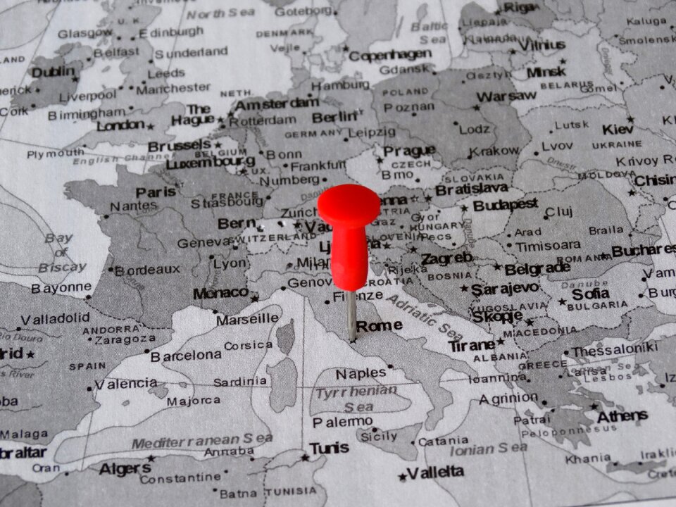
rome
maps
pin
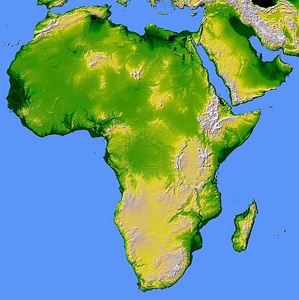
africa
maps
atlas van der hagen (volume 3)
atlas van der hagen
maps with cartouches
atlas van der hagen
maps
pin
self-published work
pages with maps
atlas of the russian empire (1800)
18th-century maps of estonia
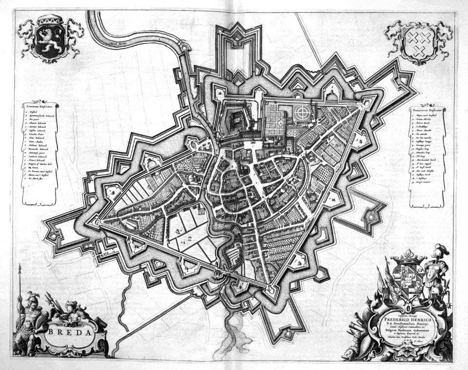
old maps of breda
atlas beudeker
17th-century maps of the netherlands
maps with cartouches
17th-century maps of the netherlands
maps with cartouches
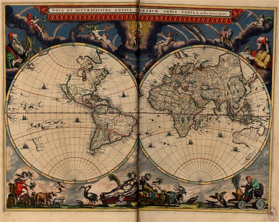
double hemisphere world maps
copper engraving
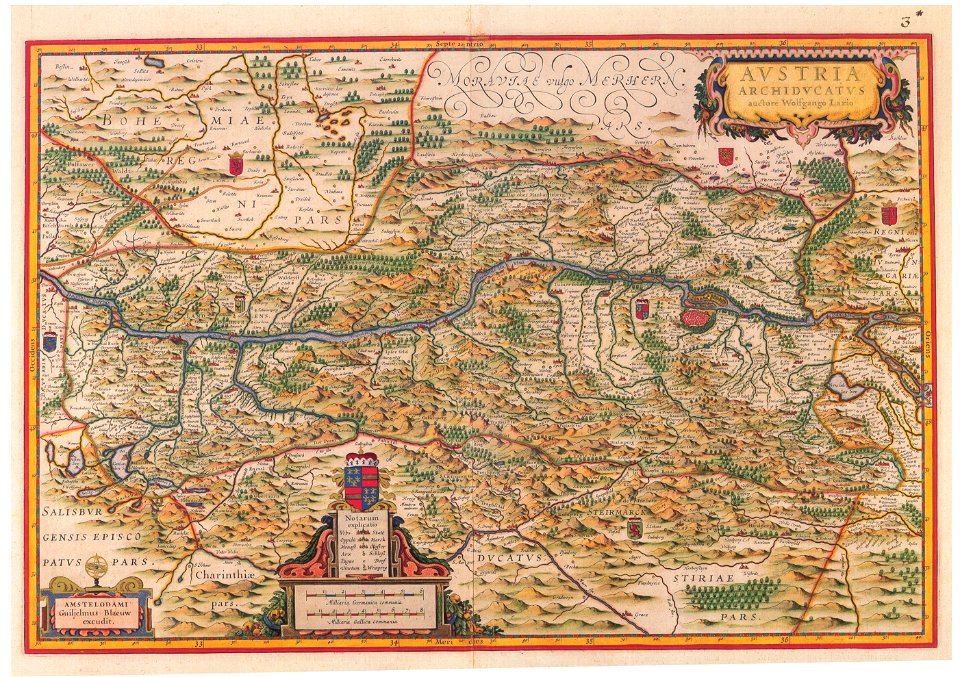
old maps of upper austria
old maps of styria
atlas of the russian empire (1792)
atlas of the russian empire (1800)
old maps of courland governorate
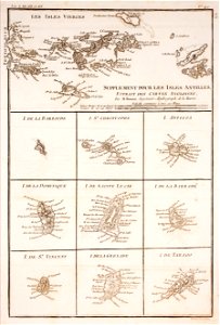
1780 in the caribbean
virgin islands
1805 maps of the united states
maps by john cary
maps in skokloster castle
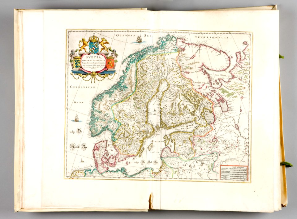
old maps of scandinavia
the hague stork in art
old maps of the hague
maps with cartouches
copper engraving
old maps of silesia
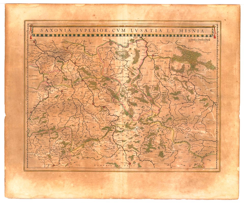
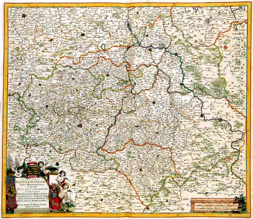
old maps of saxony
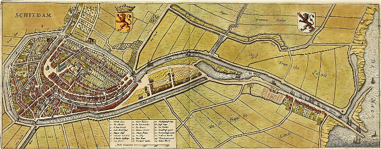
old maps of schiedam
atlas de wit 1698
old maps of governorates of the russian empire
atlas of the russian empire (1800)
old maps of governorates of the russian empire
atlas of the russian empire (1800)
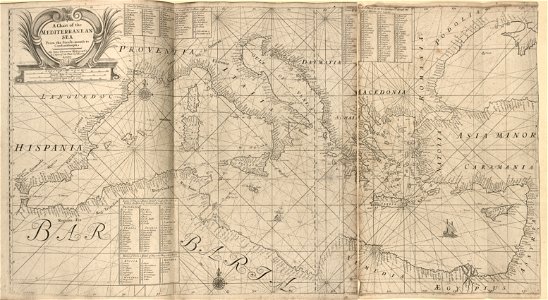
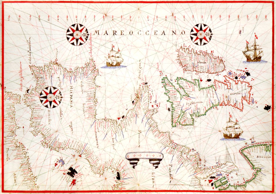
17th-century maps of the mediterranean sea
coats of arms on maps
old maps of governorates of the russian empire
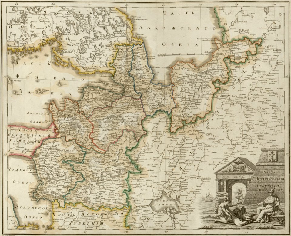
atlas of the russian empire (1800)
maps of saint petersburg governorate
atlas of the russian empire (1800)
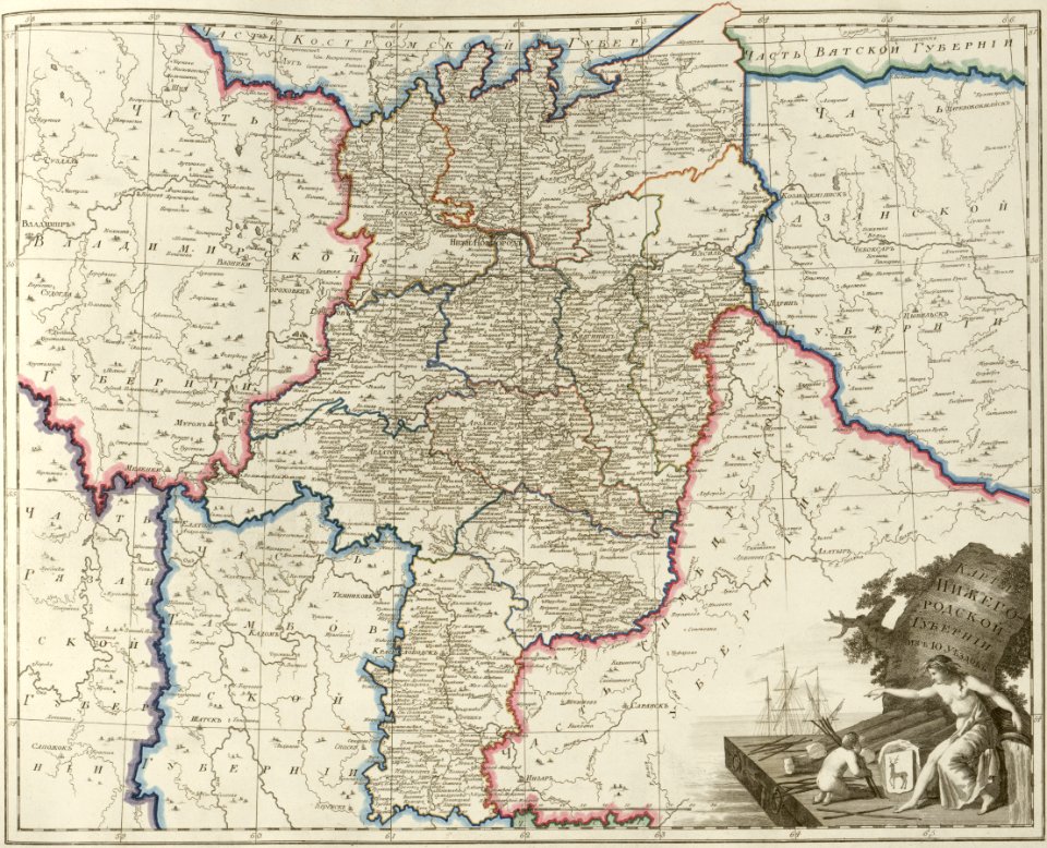
maps of nizhny novgorod governorate
atlas of the russian empire (1800)
old maps of governorates of the russian empire
atlas of the russian empire (1800)
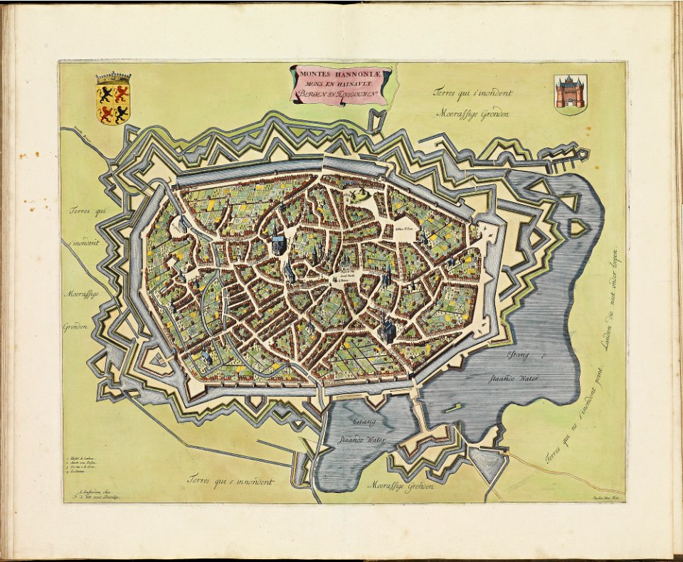
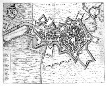
old maps of bergen op zoom
atlas beudeker
title pages of maps
atlas de wit 1698
maps with cartouches
old maps of saxony
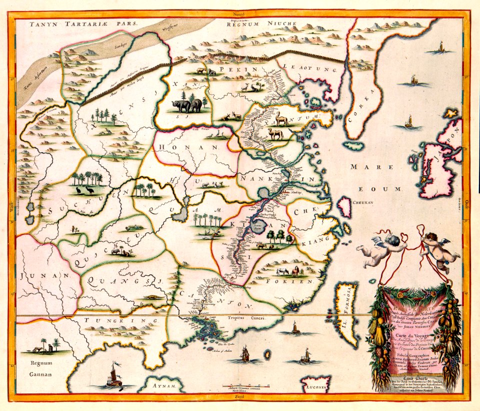
17th-century maps of china
maps with cartouches
maps with cartouches
curonian
dutch-language maps
atlas van loon
maps by willem and johannes blaeu
atlas van loon
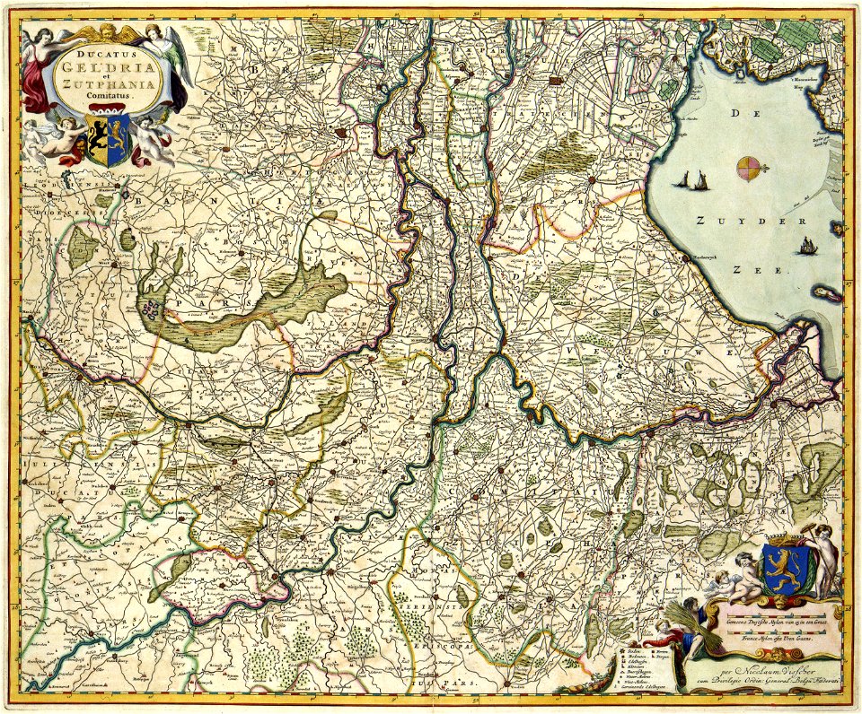
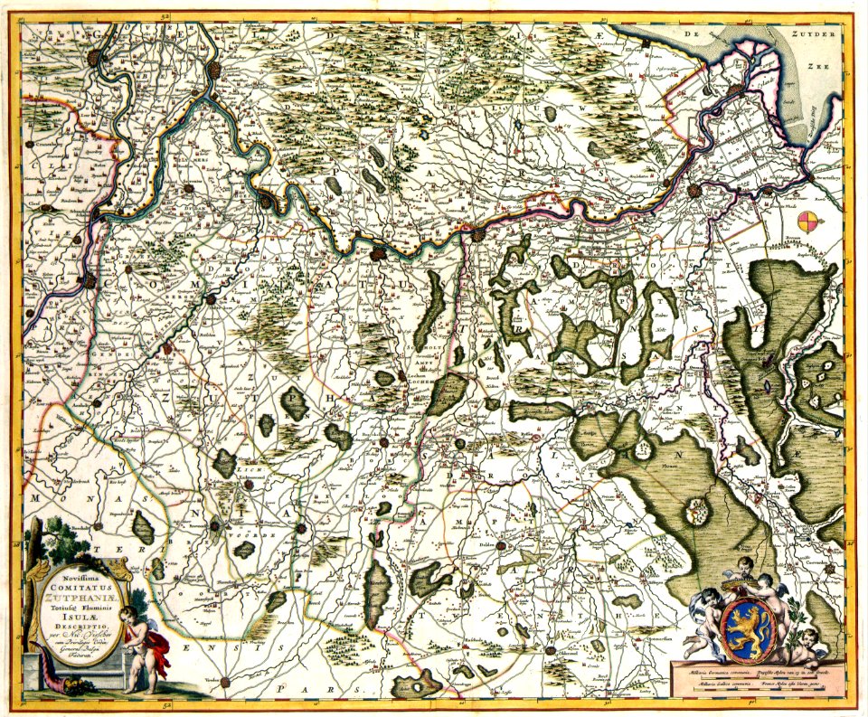
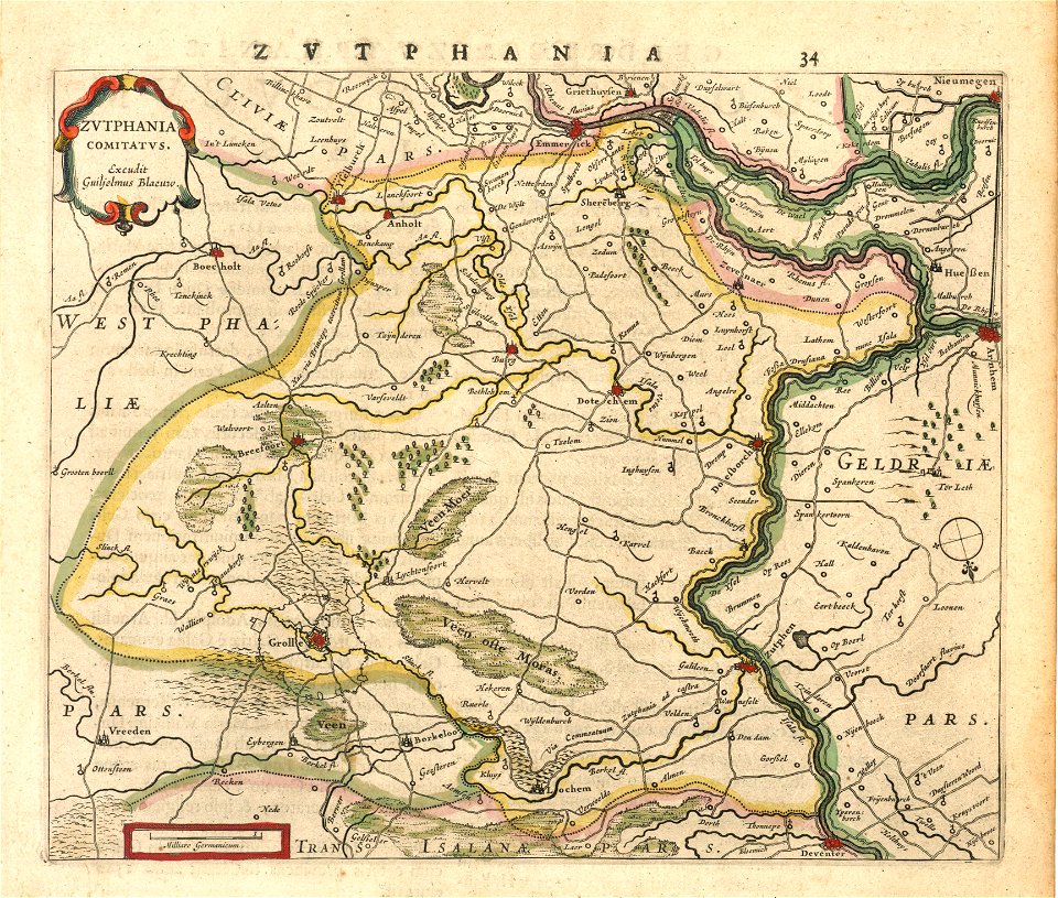
old maps of gelderland
old maps of zutphen
atlas of the russian empire (1792)
18th-century maps of estonia
old maps of governorates of the russian empire
atlas of the russian empire (1800)
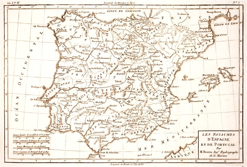
1780s maps of portugal
1780s maps of spain
maps with cartouches
atlas van der hagen
18th-century maps of brazil
1780 in south america
maps with cartouches
old maps of greece
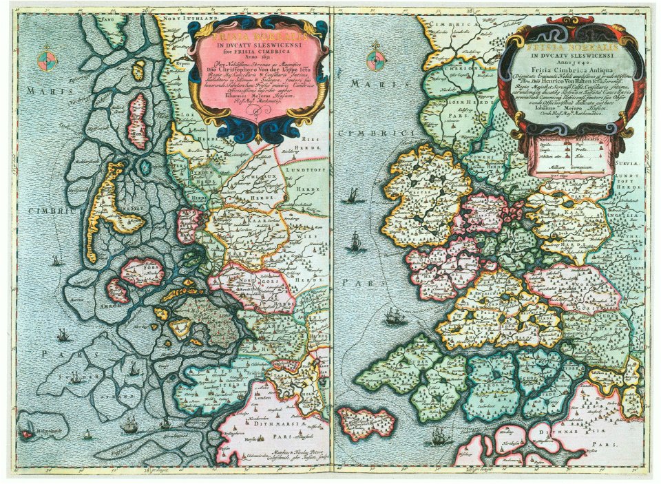
maps by johannes mejer
kreis nordfriesland
atlas of the russian empire (1792)
old maps of tobolsk governorate
vintage
maps
cartography
maps
illustration
maps
prints from bonne atlas de toutes les parties at the peace palace library
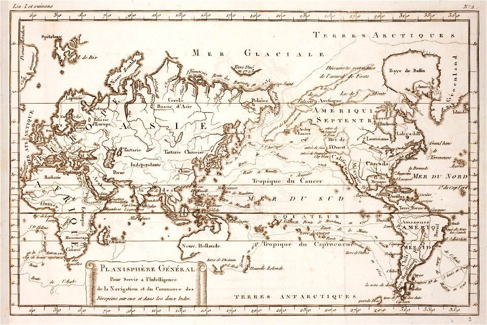
world map
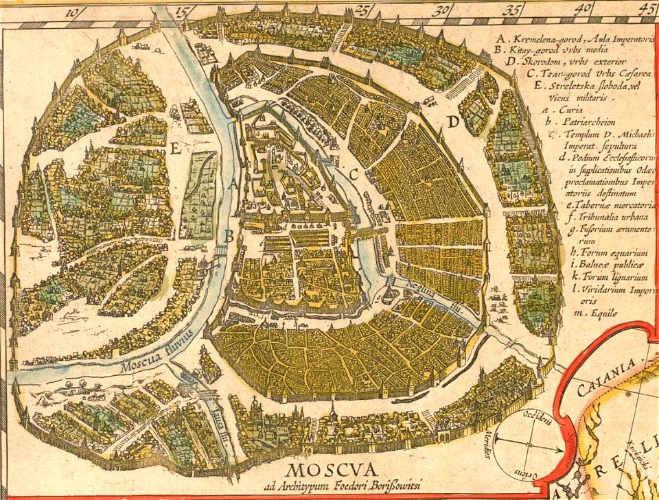
old maps of the tsardom of russia
atlas novus (blaeu)
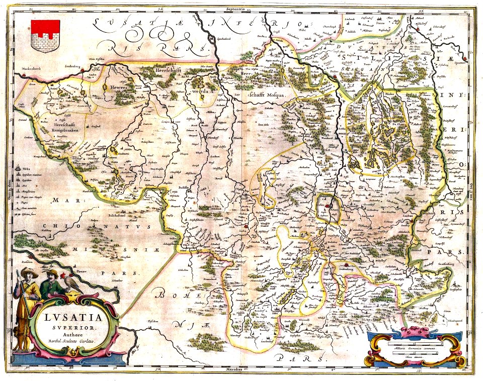
upper lusatia
kwisa
maps by willem and johannes blaeu
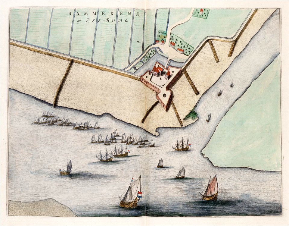
old maps of zeeland
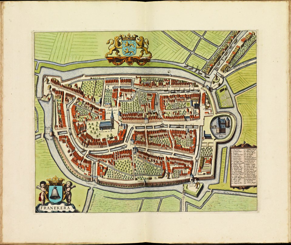
old maps of franeker
atlas de wit 1698
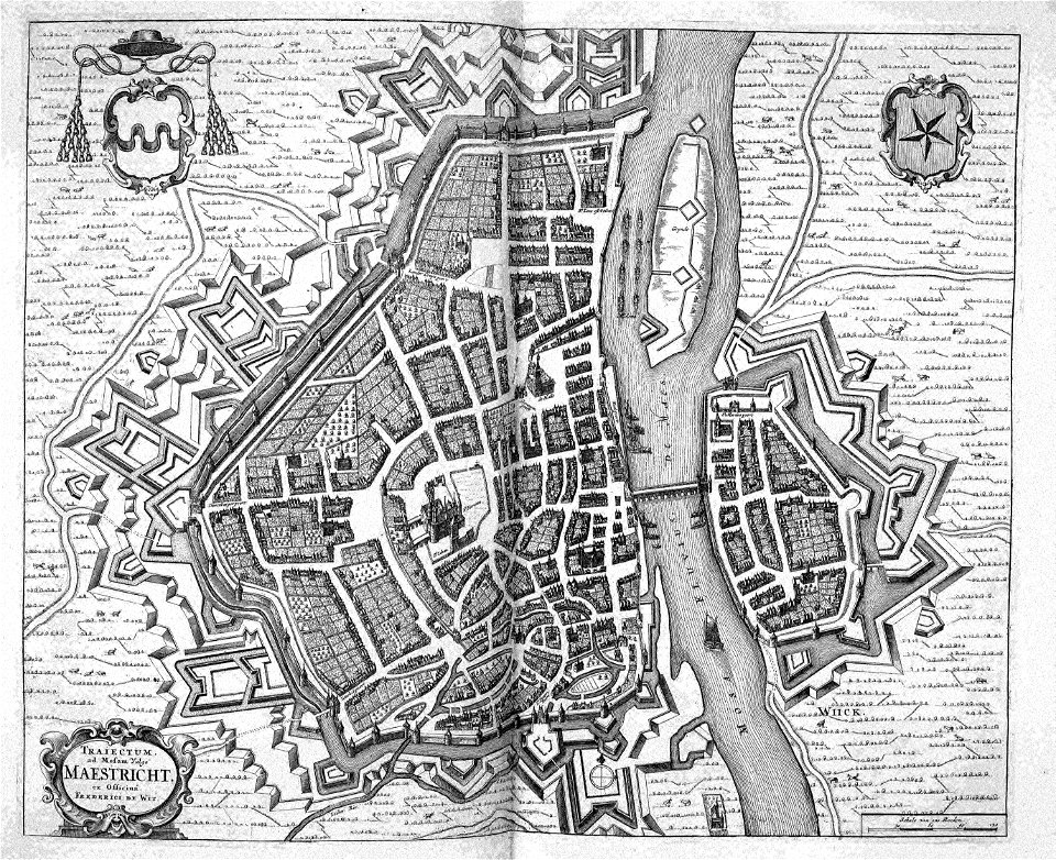
17th-century maps of maastricht
atlas beudeker
maps by willem and johannes blaeu
emmerich am rhein in art
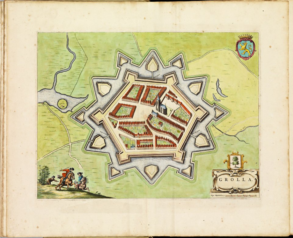
old maps of groenlo
atlas de wit 1698
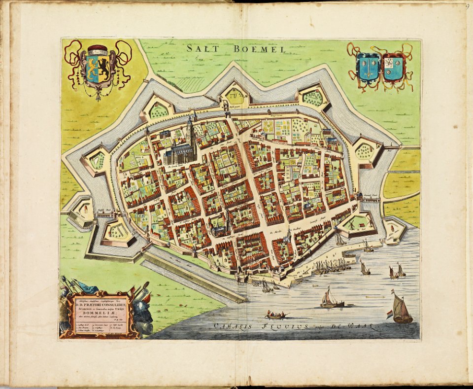
old maps of zaltbommel
atlas de wit 1698
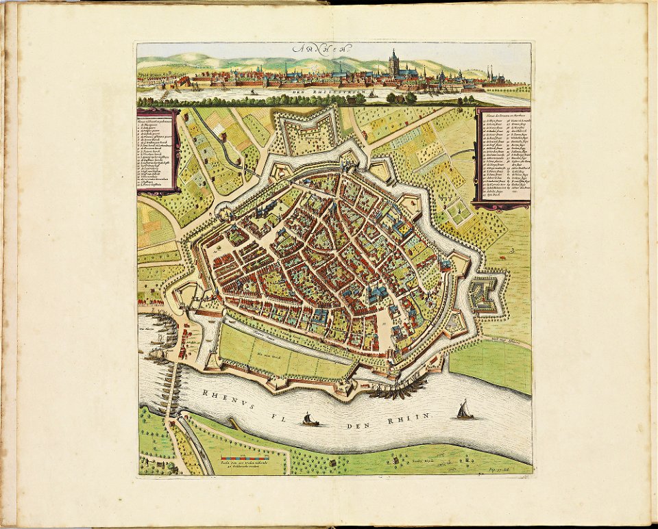
old maps of arnhem
atlas de wit 1698
old maps of culemborg
atlas de wit 1698
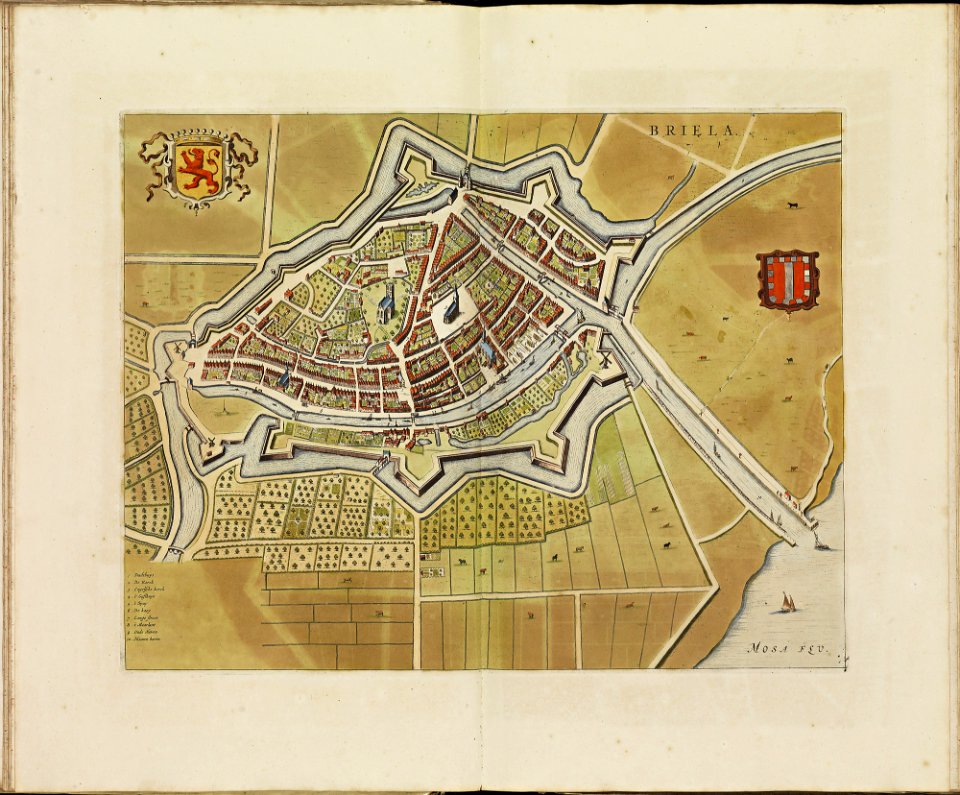
old maps of brielle
atlas de wit 1698
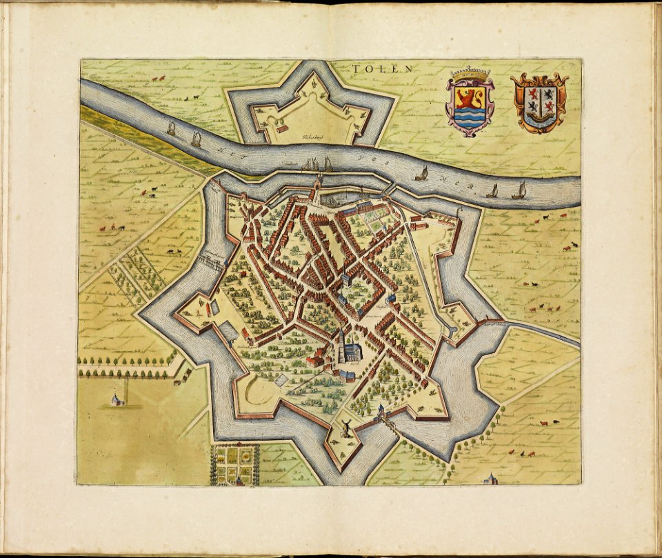
old maps of tholen
atlas de wit 1698
old maps of arnemuiden
atlas de wit 1698
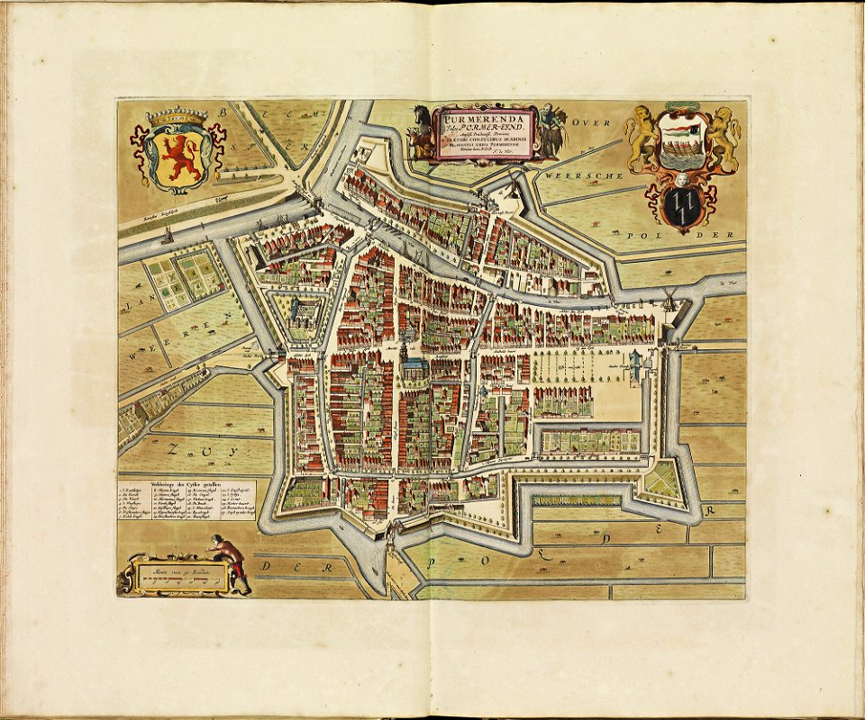
old maps of purmerend
atlas de wit 1698
atlas de wit 1698
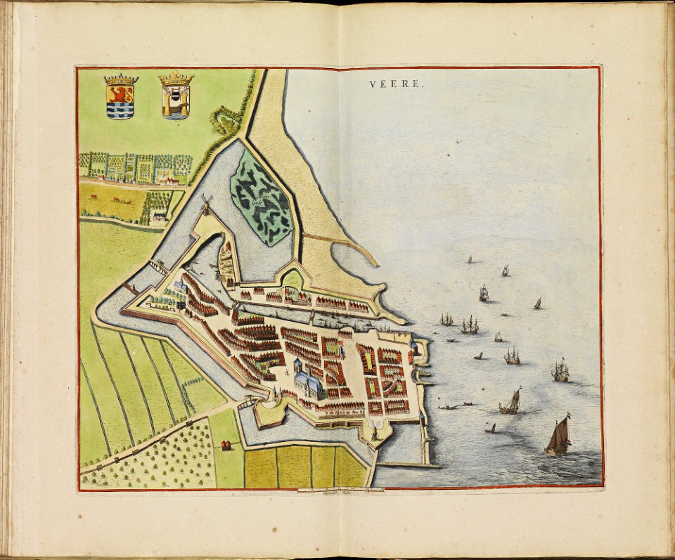
old maps of veere
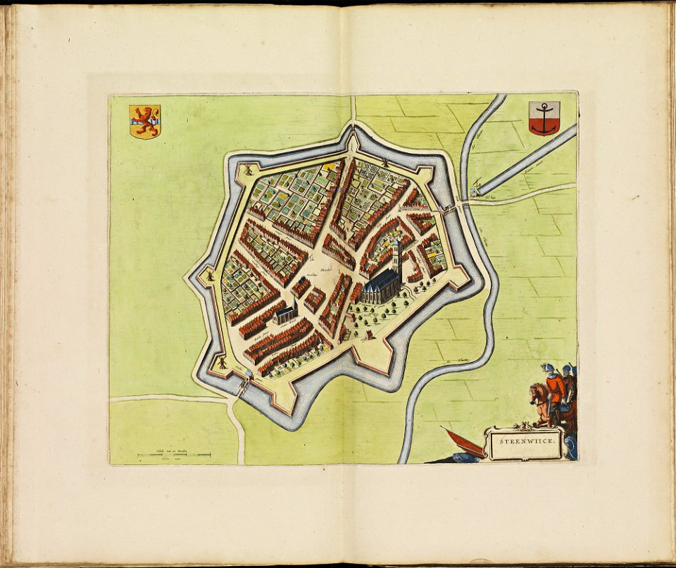
old maps of steenwijk
atlas de wit 1698
old maps of plassendale
atlas de wit 1698
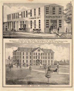
maps in the library of congress
ohio
maps in the library of congress
ohio
maps in the library of congress
ohio
601 - 700 of 7,171
Next page
/ 72